Management of Post-fire Landscapes — A Northwest Climate Adaptation Science Center (NW CASC) Project
Project Overview
Climate change is contributing to an increase in wildfire activity in the western United States, including the Blue Mountains and Eastern Cascades Slopes and Foothills of the Inland Northwest. Some forest ecosystems are changing from forest to non-forest because of severe fires, a hot and dry climate, and/or the absence of a viable seed source. On sites impacted by wildfire, managers are tasked with maintaining timber value, wildlife, recreation, and the human environment important to society. However, managers contend with multiple constraints in forest restoration.
To address these constraints, a network of scientists and managers of the Blue Mountains and Eastern Cascades will co-develop a decision support platform (a web application providing a menu of tools) and a user guide. The platform will help managers choose the tools that are most appropriate for their unique ecological and organizational context, with the goal of assisting managers in determining climate-adaptive responses for post-fire vegetation recovery of dry conifer forests. The platform, along with a knowledge-network and workshop, will promote cooperation across ownerships by making accessible maps of forest vulnerability to post-fire vegetation change now (1986 –2020) and into the future (2020 – 2099).
Our co-produced decision support platform will enable climate adaptive management and promote ecosystem recovery efforts for timber value, recreation, and wildlife. This project will provide an effective toolbox for improved land management, as wildfire activity is increasing, fire seasons are becoming longer, and managers are tasked with fighting fire and post-fire ecosystem rehabilitation.
Project Updates/News
Timeline
- August 2022: Start project
- [In development: Summarizing post-fire management tools, toward development of manuscript: Decision Support Tools for Post-fire Natural Resource Management in Dry Mixed Conifer Forests in the USA]
- [Upcoming: Spring 2023: Interviews with managers: field-based data about constraints and needed capacities of decision support tools]
- [Tentative 2024: Workshop – Selecting appropriate decision support tools for management of post-fire landscapes]
External Links
- MTBS: mapping burn severity and fire perimeters
- NW CASC Deep dive: Managing Post-fire Vegetation Change in a Warming Climate
Publications
- Meddens, A.J., Steen-Adams, M.M., Hudak, A.T., Mauro, F., Byassee, P.M., & Strunk, J. (2022). Specifying geospatial data product characteristics for forest and fuel management applications. Environmental Research Letters, 17, 045025, https://doi.org/045010.041088/041748-049326/ac045025ee045020.
- Meddens, A.J.H., Hudak, A.T., & Kolden, C.A. (2021). Identifying and protecting wildfire refugia in a warmer, drier Pacific Northwest – Final Report to the Joint Fire Science Program. JFSP Project No. 16-1-01-1. Pullman, WA: Washington State University. 32 p.
- Krawchuk, M.A., Meigs, G.W., Cartwright, J.M., Coop, J.D., Davis, R., Holz, A., Kolden, C., & Meddens, A.J. (2020). Disturbance refugia within mosaics of forest fire, drought, and insect outbreaks. Frontiers in Ecology and the Environment, 18, 235-244.
- Andrus, R.A., Martinez, A.J., Jones, G.M., & Meddens, A.J. (2021). Assessing the quality of fire refugia for wildlife habitat. Forest Ecology and Management, 482, 118868.
- [NEW] Andrus, R., Droske, C.A., Franz, M., Hudak, A., Lentile, L., Lewis-Scholes, S., Morgan, P., Robichaud, P.R., & Meddens, A.J.H. (In press). Spatial and temporal drivers of post-fire tree establishment and height growth in a managed forest landscape. Fire Ecology.
Corresponding Drone Imagery
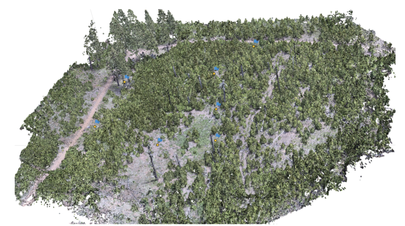
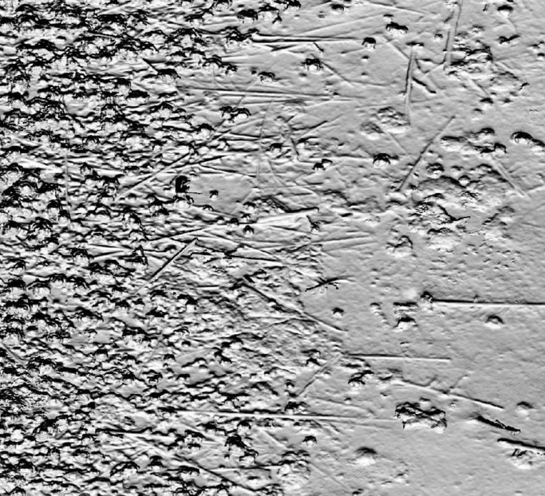
To contribute to this project, post-doc researcher, Amanda Stahl, collected a series of drone images including the following:

Post-fire vegetation at the ‘School Fire’ site

Multispectral imagery (RGB + red edge + near infrared bands) collected with Micasense RedEdge MX at 60m altitude

Surface model derived from true color images collected at 43-60m altitude


